
This guide contains Klook affiliate links. If you book through them, Best Philippines Travel Guide may earn a small commission at no extra cost to you.
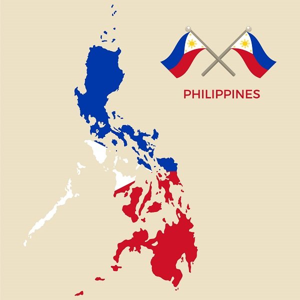
The Philippines is an archipelago of 7,641 islands in Southeast Asia, divided into three island groups: Luzon in the north, the Visayas in the center and Mindanao in the south. It has 18 regions, 82 provinces, 149 cities, 1,493 municipalities and about 42,000 barangays. The capital, Manila, is on Luzon, the largest island. The country lies between the Philippine Sea to the east, the South China Sea (West Philippine Sea) to the west and the Celebes Sea to the south.
Interactive map of the Philippines
Zoom in to see the islands, provinces and cities. Drag the map, or use the + and − buttons.
Our travel guides by island group
Map data © Google. Planning offline? Download the Philippines in Google Maps before you travel, and keep a Philippines eSIM for directions on the go.
Philippine geography by the numbers
| Fact | Answer |
|---|---|
| Islands | 7,641 (NAMRIA) |
| Island groups | Luzon, Visayas, Mindanao |
| Regions | 18 (8 in Luzon, 4 in the Visayas, 6 in Mindanao) |
| Provinces | 82 |
| Cities / municipalities / barangays | 149 / 1,493 / 42,004 (as of June 30, 2024) |
| Land area | About 300,000 km² |
| Largest islands | Luzon, then Mindanao |
| Highest peak | Mount Apo, Mindanao (about 2,954 m) |
| Longest river | Cagayan River, Luzon |
| Largest lake | Laguna de Bay, Luzon |
| Capital | Manila |
| Time zone | Philippine Standard Time, UTC+8 |
The three island groups
- Luzon (north) The largest island group, home to Metro Manila, the Cordillera mountains and rice terraces, Vigan, Baguio, Mayon Volcano, and Palawan and Mindoro in the MIMAROPA region. Guides: Manila, Baguio, Vigan, Ifugao, Palawan.
- Visayas (center) A cluster of islands including Cebu, Bohol, Panay, Negros, Leyte, Samar and Siquijor, famous for beaches, diving and heritage churches. Guides: Cebu, Boracay, Bohol, Dumaguete, Siquijor.
- Mindanao (south) The second-largest island, with Mount Apo, Davao, Siargao, Camiguin and the Zamboanga peninsula, plus rich Indigenous and Muslim cultures. Guides: Davao, Siargao, Cagayan de Oro, Zamboanga del Sur.
The 18 regions of the Philippines
| Island group | Region | Regional center |
|---|---|---|
| Luzon | National Capital Region (NCR) | Manila |
| Cordillera Administrative Region (CAR) | Baguio | |
| Region I – Ilocos Region | San Fernando, La Union | |
| Region II – Cagayan Valley | Tuguegarao | |
| Region III – Central Luzon | San Fernando, Pampanga | |
| Region IV-A – CALABARZON | Calamba | |
| MIMAROPA Region | Calapan | |
| Region V – Bicol Region | Legazpi | |
| Visayas | Region VI – Western Visayas | Iloilo City |
| Negros Island Region (NIR) | Negros Occidental, Negros Oriental and Siquijor | |
| Region VII – Central Visayas | Cebu City | |
| Region VIII – Eastern Visayas | Tacloban | |
| Mindanao | Region IX – Zamboanga Peninsula | Pagadian |
| Region X – Northern Mindanao | Cagayan de Oro | |
| Region XI – Davao Region | Davao City | |
| Region XII – SOCCSKSARGEN | Koronadal | |
| Region XIII – Caraga | Butuan | |
| Bangsamoro Autonomous Region in Muslim Mindanao (BARMM) | Cotabato City |
Seas and neighboring countries
| Direction | Body of water | Nearest neighbors |
|---|---|---|
| North | Luzon Strait | Taiwan |
| East | Philippine Sea (Pacific Ocean) | Palau |
| West | South China Sea (West Philippine Sea) | Vietnam |
| South | Celebes Sea and Sulu Sea | Malaysia (Sabah) and Indonesia |
Because it sits on the Pacific Ring of Fire and in the path of Pacific typhoons, the Philippines has about two dozen active volcanoes and is hit by an average of about 20 tropical cyclones a year. See our best time to visit guide.
Getting around the map
With thousands of islands, how you travel depends on distance:
- Long distances: fly between the main hubs of Manila, Cebu, Clark and Davao. See domestic flights: Cebu Pacific vs PAL vs AirAsia.
- Short island hops: take fast ferries, like Cebu to Bohol or Dumaguete to Siquijor. See our Philippines ferry guide.
- On each island: buses, vans, jeepneys, tricycles and Grab in cities.
Add up flights, ferries, hotels and tours across Luzon, the Visayas and Mindanao in our free trip budget calculator.
Explore each island group
Start your trip in the main hubs. Klook bookings often include free cancellation.
Map of the Philippines: FAQ
How many regions are there in the Philippines?
The Philippines has 18 regions: 8 in Luzon, 4 in the Visayas and 6 in Mindanao. The most recent, the Negros Island Region, was created in 2024.
How many provinces are in the Philippines?
There are 82 provinces in the Philippines, along with 149 cities, 1,493 municipalities and 42,004 barangays as of June 30, 2024, according to the Philippine Statistics Authority and DILG.
What are the three main island groups of the Philippines?
Luzon in the north, the Visayas in the center and Mindanao in the south.
What is the largest island in the Philippines?
Luzon is the largest island, followed by Mindanao. Luzon is home to Manila, the capital.
What seas surround the Philippines?
The Philippine Sea (part of the Pacific Ocean) to the east, the South China Sea or West Philippine Sea to the west, the Celebes Sea to the south, the Sulu Sea to the southwest and the Luzon Strait to the north.
What is the Negros Island Region?
The Negros Island Region (NIR) is the newest region of the Philippines, created by Republic Act 12000 in 2024. It includes Negros Occidental with Bacolod, Negros Oriental and Siquijor.
Which countries are near the Philippines?
Taiwan lies to the north, Vietnam across the South China Sea to the west, Malaysia and Indonesia to the south, and Palau to the east.
What time zone is the Philippines in?
The Philippines uses Philippine Standard Time, UTC+8, with no daylight saving time.
Picked your islands? Plan how to get between them.

Cebu-born travel writer raised between Cebu and Dumaguete, now based in Zamboanga del Sur, Mindanao. Gio writes Best Philippines Travel Guide to help first-time visitors travel the islands with confidence.