
This guide contains Klook affiliate links. If you book through them, Best Philippines Travel Guide may earn a small commission at no extra cost to you.
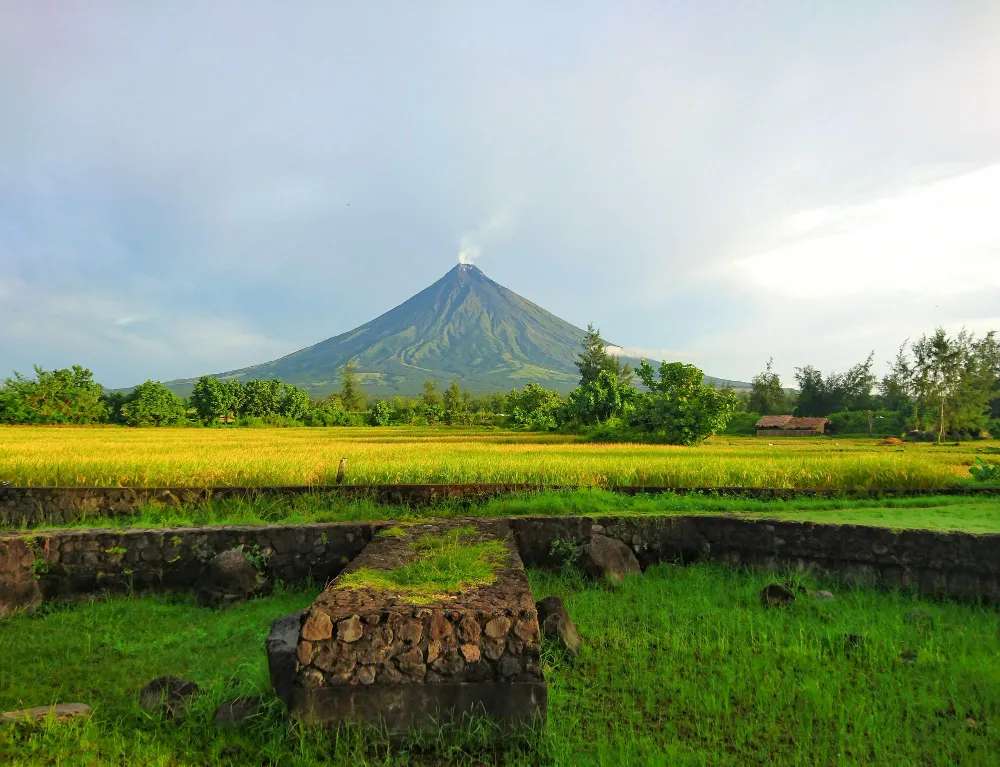
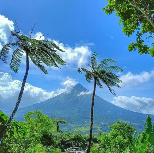
Mayon Volcano is an active stratovolcano in Albay province, Bicol Region, about 2,460 meters high and famous for its near-perfect cone. It’s the most active volcano in the Philippines, with more than 50 recorded eruptions. Its deadliest eruption, in 1814, killed about 1,200 people and buried the town of Cagsawa, leaving the famous Cagsawa Ruins. Visitors base themselves in Legazpi City and view the volcano from Cagsawa, Lignon Hill and Sumlang Lake, or join an ATV tour on the lava trails. Climbing to the summit isn’t allowed while the alert level is raised.
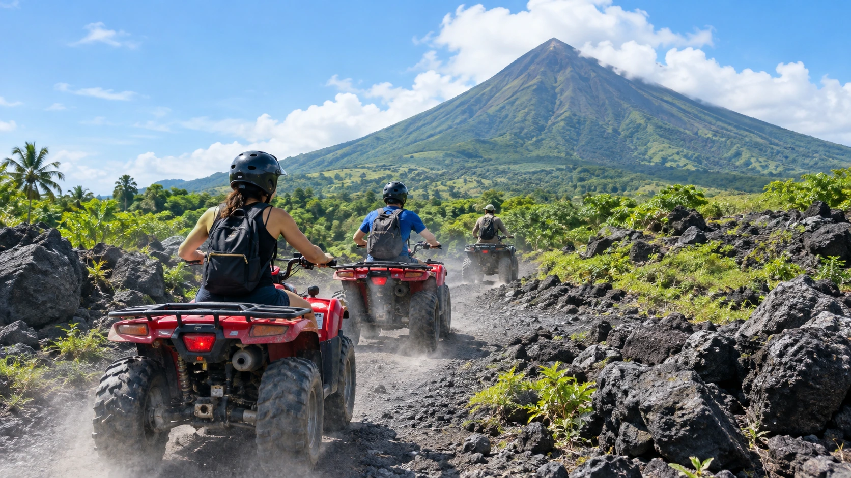
See Mayon up close on an ATV or a guided day tour from Legazpi.
Mayon Volcano at a glance
| Fact | Answer |
|---|---|
| Location | Albay province, Bicol Region, southeastern Luzon |
| Height | About 2,460 m |
| Type | Active stratovolcano on the Pacific Ring of Fire |
| Recorded eruptions | More than 50 since the 1600s |
| Deadliest eruption | February 1, 1814, about 1,200 deaths, including at Cagsawa |
| Recent eruptions | 2018, 2023 and 2026 |
| Protected area | Mayon Volcano Natural Park, within the UNESCO-recognized Albay Biosphere Reserve |
| Danger zone | 6-kilometer Permanent Danger Zone around the summit |
| Nearest city and airport | Legazpi City; Bicol International Airport in Daraga |
Eruptions and the 2026 activity
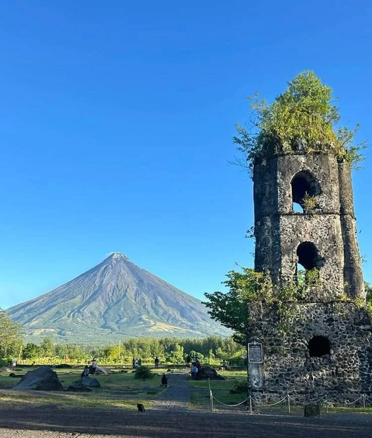
Mayon’s perfect shape comes from repeated eruptions that layer lava, ash and rock evenly down its slopes. That same activity makes it dangerous. The deadliest eruption, on February 1, 1814, sent pyroclastic material and debris over surrounding towns, killing about 1,200 people. At Cagsawa, people who sheltered in the church died, and only its bell tower still stands today.
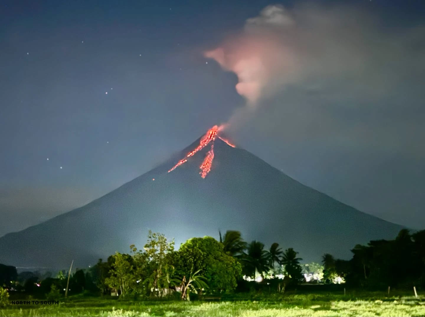
Modern eruptions in 2018 and 2023 forced tens of thousands of residents to evacuate. In 2026, PHIVOLCS raised the alert to Level 3 on January 6 as a lava dome formed and pyroclastic density currents (uson) began. Lava flowed down the Basud, Bonga and Mi-isi gullies for months. Activity peaked in mid-July, and PHIVOLCS lowered the alert to Level 2 on August 5, 2026, while warning that magma remains beneath the volcano and that heavy rain can trigger lahars.
| PHIVOLCS alert level | Meaning | For travelers |
|---|---|---|
| 0 | Normal | Viewpoints and approved trails open |
| 1 | Low-level unrest | Stay out of the 6-km danger zone |
| 2 | Moderate unrest | Danger zone off-limits; check which ATV trails are open |
| 3 | Increased tendency toward a hazardous eruption | Evacuations near the volcano; view from a safe distance only |
| 4–5 | Hazardous eruption imminent or ongoing | Avoid the area and follow local authorities |
Things to do around Mayon Volcano
- Cagsawa Ruins, Daraga The bell tower of the church destroyed in 1814, with Mayon rising behind it, is the most famous view in Bicol.

The Cagsawa Ruins bell tower, a survivor of the 1814 eruption. - ATV tours on the lava trails Ride trails at the foot of the volcano, from short forest loops to longer routes over old lava flows. Which trails are open depends on the alert level.

ATV tours ride old lava trails at the foot of the volcano. Illustrative image. - Lignon Hill, Legazpi City A hilltop viewpoint over Mayon, Legazpi and Albay Gulf, with a zipline and a nature park.

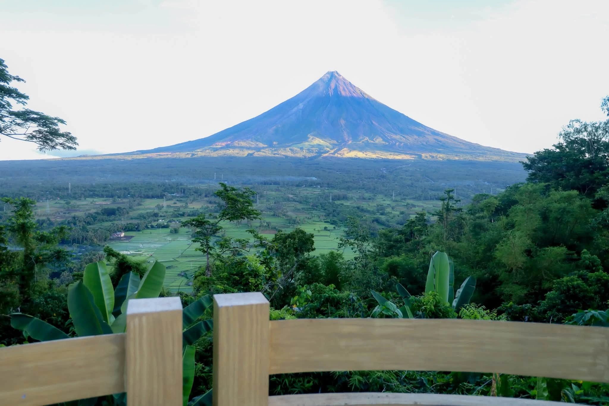
Mayon and Legazpi City from Lignon Hill. - Sumlang Lake, Camalig A calm lake where you can ride a bamboo raft with Mayon reflected in the water.

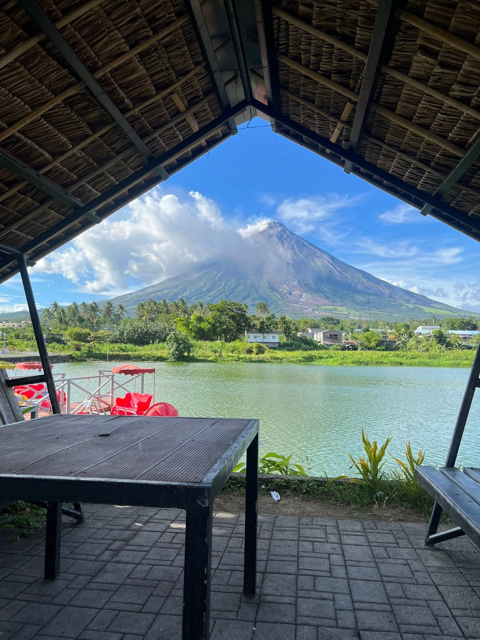
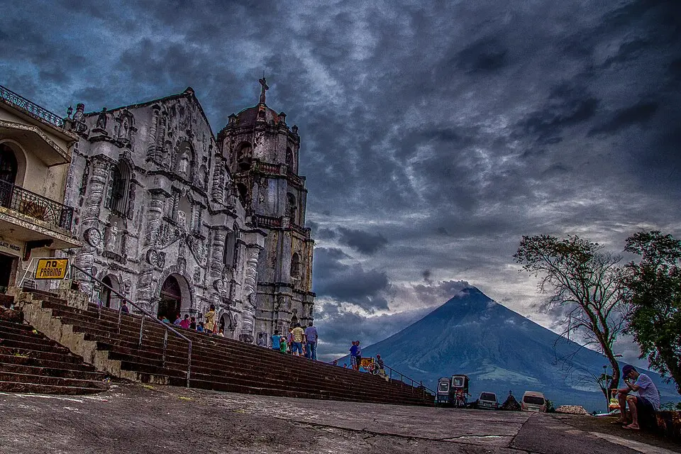
Bamboo rafts on Sumlang Lake. - Daraga Church A hilltop Baroque church facing the volcano. See our churches in the Philippines guide.
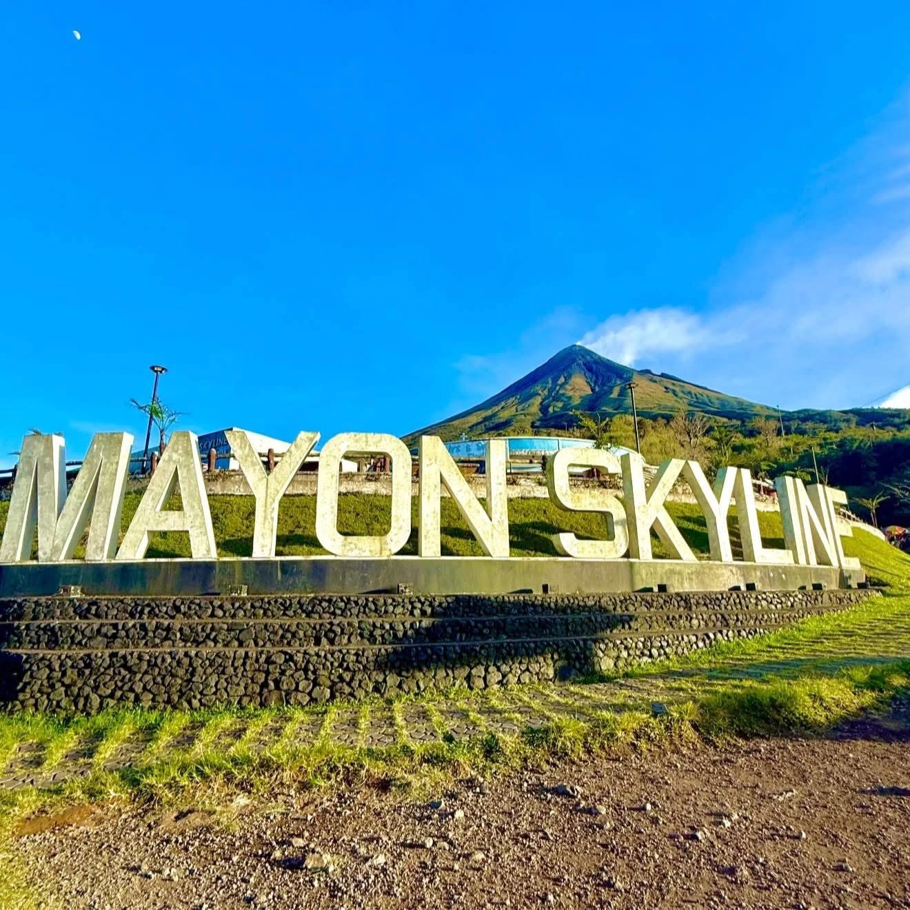
- Mayon Skyline View Deck, Tabaco A higher viewpoint on the volcano’s northern side, often included in Albay day tours.

Mayon from the Skyline View Deck. - Bicol food Try spicy Bicol Express, laing and pili nut sweets. See our spicy Filipino food guide.

Bicol Express, laing and pili nuts. Illustrative image.

The legend of Daragang Magayon
Mayon’s name is said to come from Daragang Magayon, “beautiful maiden” in Bikol. In the most popular version of the legend, she and her beloved Panganoron died tragically and were buried together, and the volcano rose from their grave. Locals say the clouds that sometimes wrap Mayon’s peak are Panganoron embracing his love.
How to visit Mayon Volcano
- By air: fly from Manila to Bicol International Airport in Daraga, near Legazpi, about an hour’s flight. See our domestic flights guide.
- By bus: overnight buses run from Manila to Legazpi, a long but cheap trip.
- Getting around: base yourself in Legazpi City and join a day tour, or hire a van or tricycle to Cagsawa, Lignon Hill and Sumlang Lake.
- Best time: Mayon’s peak is often hidden by clouds. Go early in the morning for the clearest views, and favor the drier months. See our best time to visit guide.
Safety tips
- Never enter the 6-km Permanent Danger Zone, whatever the alert level.
- Check PHIVOLCS and local news before booking and on the day of your visit.
- Avoid river channels after heavy rain, when lahars can flow down from the slopes.
- Book ATV trails with accredited operators, who know which routes are open.
- Get travel insurance that covers natural disasters. See our Philippines travel insurance guide.
Book your Mayon trip
ATV tours and Albay day trips from Legazpi. Klook bookings often include free cancellation, useful if the alert level changes.
Mayon Volcano: FAQ
Is Mayon Volcano active?
Yes. Mayon is the most active volcano in the Philippines, with more than 50 recorded eruptions. It erupted in 2018, 2023 and 2026. PHIVOLCS lowered it from Alert Level 3 to Alert Level 2 on August 5, 2026.
Can you climb Mayon Volcano?
Not while the alert level is raised. The 6-kilometer Permanent Danger Zone is off-limits, and summit climbs are not allowed during unrest. Most visitors view it from Cagsawa, Lignon Hill and Sumlang Lake, or on ATV trails at the foot of the volcano.
Where is Mayon Volcano?
Mayon is in Albay province in the Bicol Region of southeastern Luzon, near Legazpi City. The nearest airport is Bicol International Airport in Daraga.
How tall is Mayon Volcano?
Mayon is about 2,460 meters high, with a near-perfect symmetrical cone.
What happened at the Cagsawa Ruins?
During Mayon’s eruption on February 1, 1814, volcanic material buried the town of Cagsawa and about 1,200 people died. The ruins of its church, with the bell tower still standing, are now a famous viewpoint.
Why is Mayon Volcano a perfect cone?
Repeated eruptions have deposited lava, ash and rock evenly around its single central vent, building up its steep, symmetrical slopes over time.
Is it safe to visit Mayon Volcano now?
Viewpoints outside the danger zone, like Cagsawa, Lignon Hill and Sumlang Lake, are generally safe to visit when authorities allow it. Always check the latest PHIVOLCS bulletin, never enter the 6-km danger zone, and avoid river channels after heavy rain.
What is the legend of Mayon Volcano?
Mayon is linked to the legend of Daragang Magayon, a beautiful maiden who died tragically with her beloved Panganoron. The volcano is said to have risen from their grave, and the clouds around its peak are Panganoron embracing her.
Add flights, hotels in Legazpi and Mayon tours in our free Philippines trip budget calculator.

Cebu-born travel writer raised between Cebu and Dumaguete, now based in Zamboanga del Sur, Mindanao. Gio writes Best Philippines Travel Guide to help first-time visitors travel the islands with confidence.